Tailored Solutions for Various Industries
Telecoms

At Geospatial Net, we offer a comprehensive range of services and solutions designed to empower your decision-making processes. Our expert team will design and plan FTTx networks from inception to completion, ensuring every detail is considered. This expertise allows you to efficiently identify prime areas for network expansion, assess new network costs, and plan upgrades, ensuring precision down to the smallest detail. This streamlines construction operations, eliminating challenges arising from incorrect or incomplete plans.
Our solutions extend to data management, both in the office and in the field, delivering comprehensive visibility and insights to guide your decision-making. We enhance your GIS, asset and inventory systems, facilitating seamless data flow for consistent organizational service. Additionally, we can set up applications and workflows, ensuring that data is digitally collected with all necessary relationships and archived properly. This digital approach allows for real-time data updates during the construction process and the production of accurate as-builts supported by media data.
Our capabilities include helping companies analyze spatial data and its correlation with infrastructure conditions, enabling informed decisions and driving network inspections based on this valuable analytics.
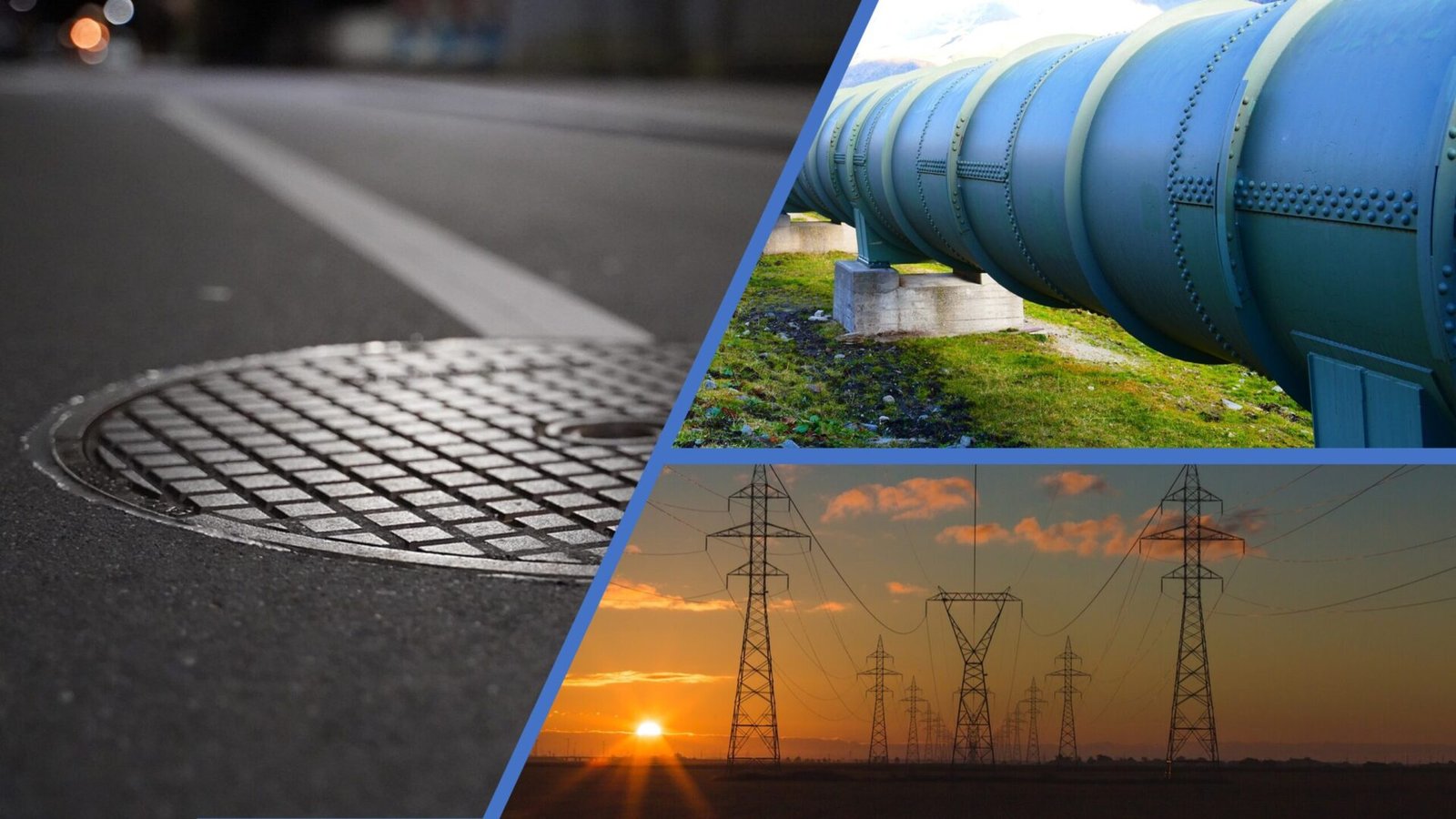
Utilities
At Geospatial Net, we excel at meeting the essential needs of utilities. Our customized systems efficiently manage utility infrastructure, ensuring the latest in seamless Geographic Information Systems (GIS) technology.
We prioritize data accuracy and reliability through professional data cleansing and streamlined data management. Our dedicated team conducts inspections, streamlines maintenance, and harnesses spatial data for well-informed decision-making.
Geospatial Net extends its services to water utilities, gas, electric, stormwater, and sewer, recognizing their unique demands and challenges. We specialize in designing systems for efficient maintenance and conducting thorough utility network analysis to support data-driven decisions.
Geospatial Net is your trusted partner, delivering top-tier services that elevate utility operations, covering everything from data management to asset optimization and network analysis.
Architecture, Engineering, and Construction

We understand that construction projects demand meticulous planning and efficient execution. To this end, we offer comprehensive solutions that bridge the gap between the field and office, ensuring seamless data workflows in both directions. Our expertise enables real-time data updates, simplifying the process of capturing media files and integrating 3D laser scanning for precise project documentation.
When it comes to Site Selection, where even minor errors can be costly, we offer invaluable support. Our solutions allow you to synthesize data from various sources into a unified platform, simplifying analysis and decision-making. By incorporating datasets like demographics and human mobility, we empower you to make data-driven decisions.
We recognize the importance of progress tracking, which is why we facilitate the monitoring of construction progress using GIS. All relevant documentation is centralized in geodatabases, promoting efficient information management. Additionally, our services extend to the integration of Building Information Modeling (BIM) with GIS, allowing for enhanced data collaboration and enriched project insights. Geospatial Net is your trusted partner in construction, driving innovation and efficiency through the convergence of GIS and cutting-edge construction technologies.
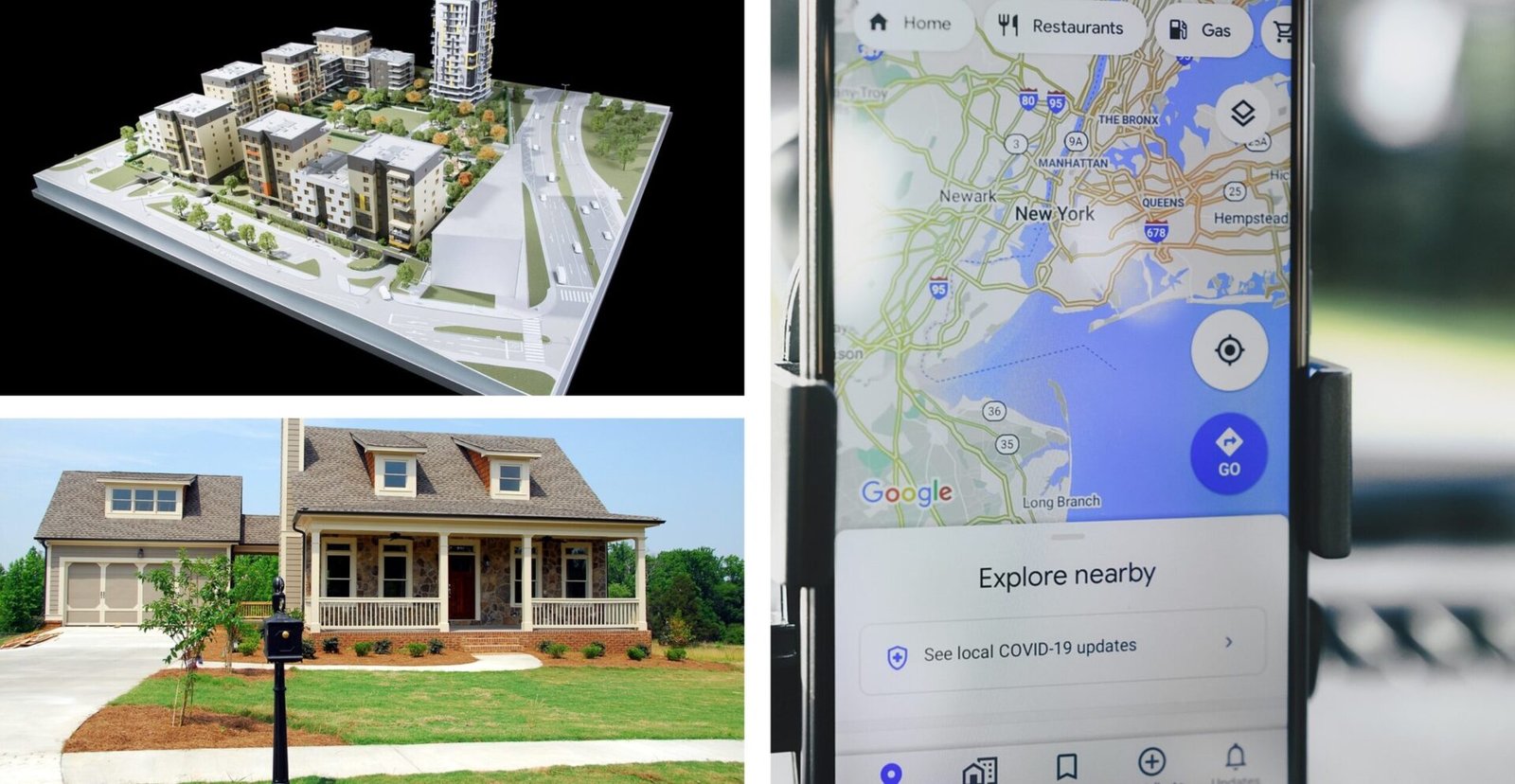
Real Estate
We offer an extensive array of services and solutions aimed at enhancing your decision-making in the realm of real estate.
Our expertise empowers you to efficiently identify prime locations for property investments driven by data insights and spatial analysis. This analysis covers an array of factors such as location selection based on available amenities, traffic patterns, environmental conditions, crime rates, and demographic profiles. We also excel in serving businesses searching for locations and comparing demographics, offering insights into the correlation with their offerings and competition.
For real estate agencies, we streamline property management using GIS, incorporating geodatabases that link all documents to the appropriate buildings, analysis of rental rates, and price comparisons based on neighborhood data. This makes real estate management more efficient and effective.
Environmental and Natural Resources

At Geospatial Net, we are dedicated to providing essential services and analytics spanning a broad range of environmental and ecological domains.
We specialize in monitoring environmental shifts and predicting future changes using spatial data to mitigate environmental degradation. Our dedicated team excels in assisting with the analysis of air pollution, disaster management, forest fire tracking, oil spill response, and efficient wastewater management. Protecting our planet is our foremost priority, and we are here to offer services that cater to these critical needs.
Leveraging spatial analysis tools, we enhance the understanding of endangered species with limited known ranges and identify hotspots within their habitats. By utilizing desktop, mobile, and web GIS tools, we facilitate surveys and monitoring schemes, enabling the collection of data on habitat distribution by location to measure changes and consolidate it in one accessible platform.
Geospatial applications play a pivotal role in improving information-sharing around marine governance. Geospatial Net is your dedicated partner in these critical areas, offering a range of services and analytical solutions to protect and sustain our environment.
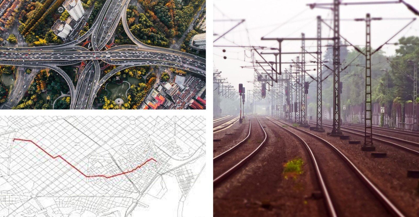
Transport
In the realm of urban planning and transportation, optimizing transport infrastructure spatially is vital for the future of mobility. Forward-thinking cities are adopting data-driven approaches for greener, more efficient futures.
Traffic Management is a pressing issue in the last few decades. New data streams and spatial analysis are untapped resources for city traffic management and CO2 emission reduction.
Road Safety Analysis is evolving with diverse data streams and Spatial Data Science, moving beyond historical data to predict incident probabilities, enhancing commuter safety.
Mobility Planning is key for reducing congestion and improving road safety. Analyzing commuter patterns and using spatial models allows cities to tailor public transport services to those who need them most.
Geospatial Net is at the forefront of leveraging spatial analysis and location data to help cities optimize transportation infrastructure for a sustainable and efficient future.
Cities and Government
Geospatial Net offers comprehensive solutions for desktop, web, and mobile city management in the rapidly evolving landscape of Smart Cities and IoT. We empower data collection and in-depth analysis to help build smarter, more sustainable cities.
Our tools provide urban planners with cutting-edge solutions for swift project visualization and analysis, enhancing planning productivity. This enables proactive decision-making and fosters community engagement.
Geospatial Net specializes in the development and management of GIS portals and hubs for cities and governmental institutions to share spatial and asset data. We facilitate active involvement, ensuring that cities can tackle challenges and make informed decisions through data-driven insights.