Construction Reality Capture: Turning LiDAR, SLAM and RTK into Accepted Handover
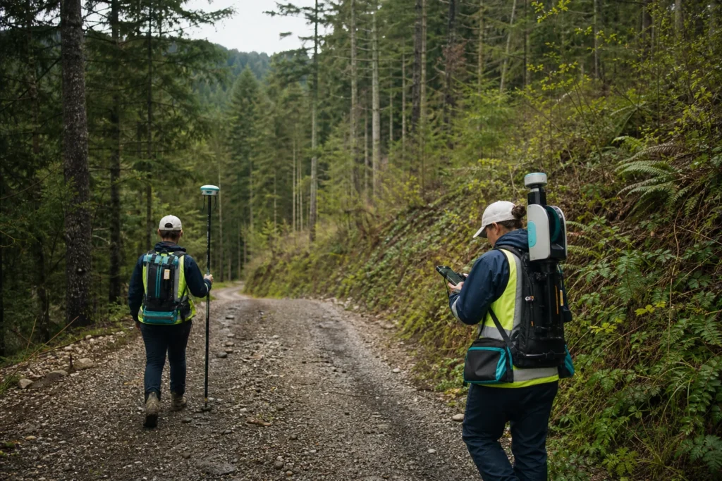
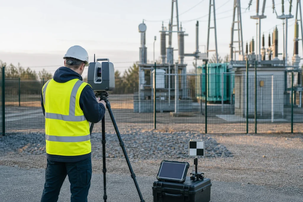
How to design reality capture around construction decisions, coordinate control, evidence, comparison and maintainable asset handover.
Read the article →
From field evidence to an operating decision
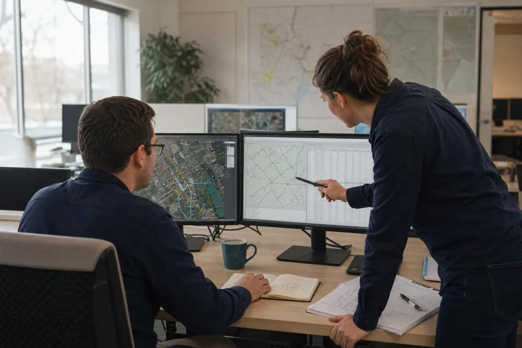
Articles about FTTx and pole engineering, As-Built data, LiDAR, utility GIS, field workflows, automation and the decisions that make delivery reviewable.
Insights from the workflow
How to design reality capture around construction decisions, coordinate control, evidence, comparison and maintainable asset handover.
Read the article →A practical utility GIS modernisation sequence built around decisions, stable asset identity, field evidence and maintainable handover.
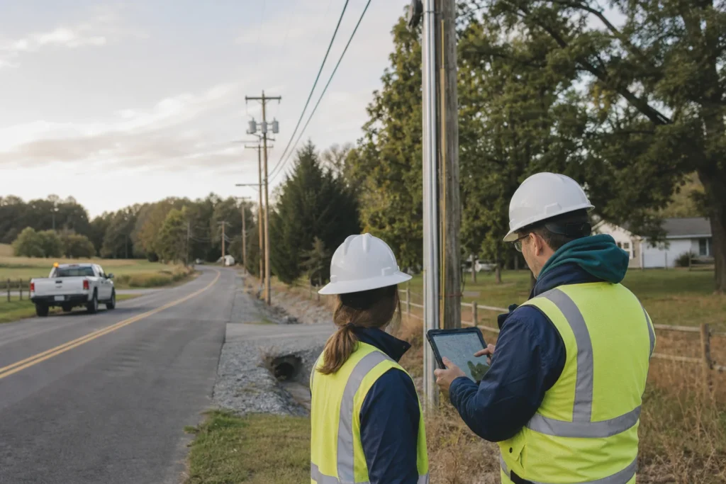
Read the article →How to connect pole inventory, attachment evidence, loading inputs, engineering review and make-ready status without losing traceability.
Read the article →How to use FCC broadband context, location data and public permitting resources without confusing them with route authority or construction evidence.
Read the article →A controlled workflow for combining Australian datum guidance, public elevation and LiDAR products, field capture and infrastructure records.
Read the article →How to specify forestry LiDAR processing around terrain, canopy, plots, roads, change and operational decisions.
Read the article →What forward-deployed engineering looks like when AI must operate inside GIS, telecom, utility and construction workflows.
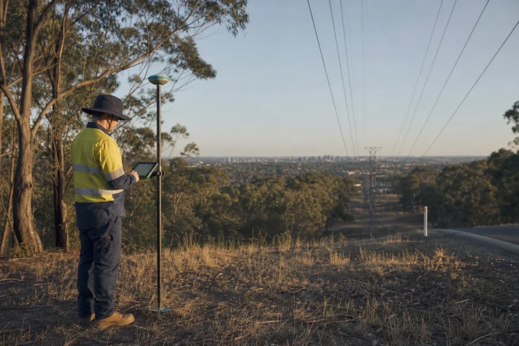
Read the article →When to use SLAM, RTK GNSS or a hybrid survey workflow-and why independent control matters more than a sensor label.
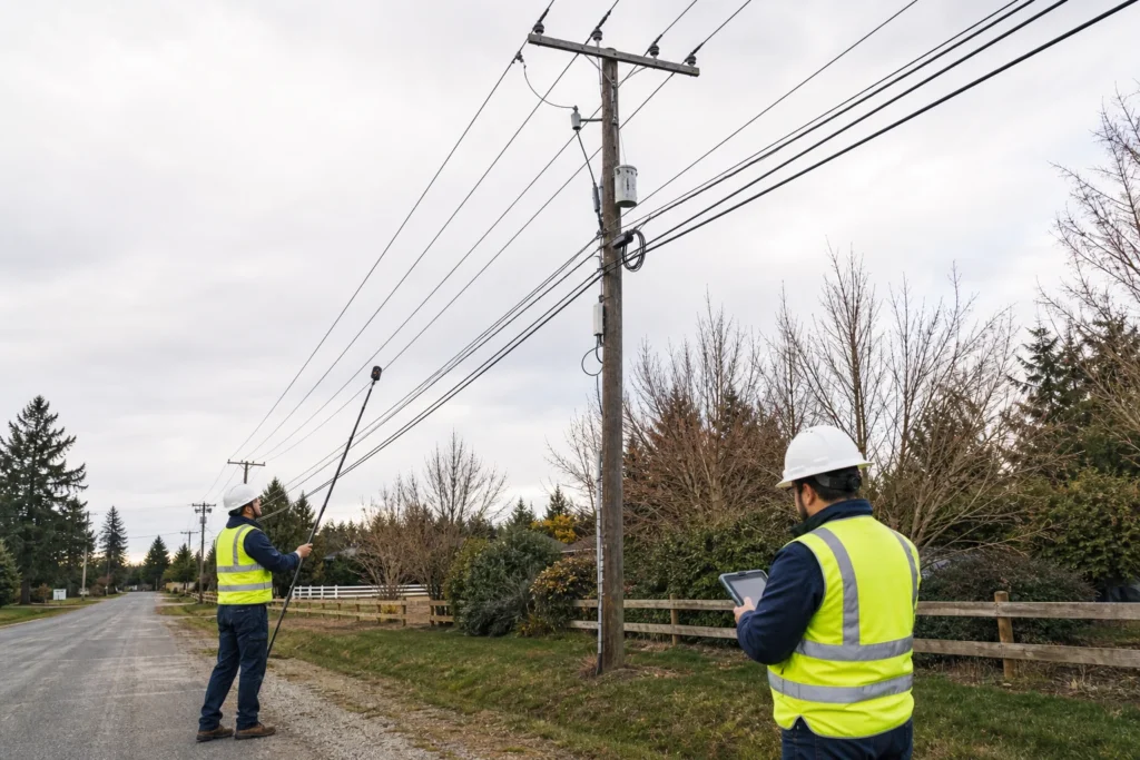
Read the article →A practical processing and governance chain from capture specification through registration, classification, asset extraction and maintainable 3D handover.
Read the article →A GIS workflow for turning national coverage context, local infrastructure, field evidence and delivery constraints into controlled fibre work packages.
Read the article →A practical data and workflow interpretation of infrastructure sharing, coordinated civil works, permits and in-building readiness.
Read the article →How German infrastructure and coverage sources can inform fibre planning without being mistaken for construction-ready route evidence.
Read the article →Earlier articles
Dates remain visible so readers can separate current guidance from earlier project thinking.
A low-risk first step
Share one representative work package, dataset or stalled workflow. We will identify the missing inputs, acceptance gates and smallest pilot that can produce a useful decision.
Start with a focused scope. Agree the inputs, outputs and acceptance criteria before scaling.