
Brownfield FTTH planning is rarely straightforward. Existing records are often outdated, asset conditions vary across regions, and address registers frequently contain inaccuracies. These gaps slow down planning, increase costs, and create uncertainty for both designers and construction teams.
At Geospatial Net, we tackled these challenges by implementing a fully connected workflow using QGIS and Mergin Maps. The result is a real-world solution that eliminates manual data merging, prevents errors, and gives teams full visibility from survey to construction.
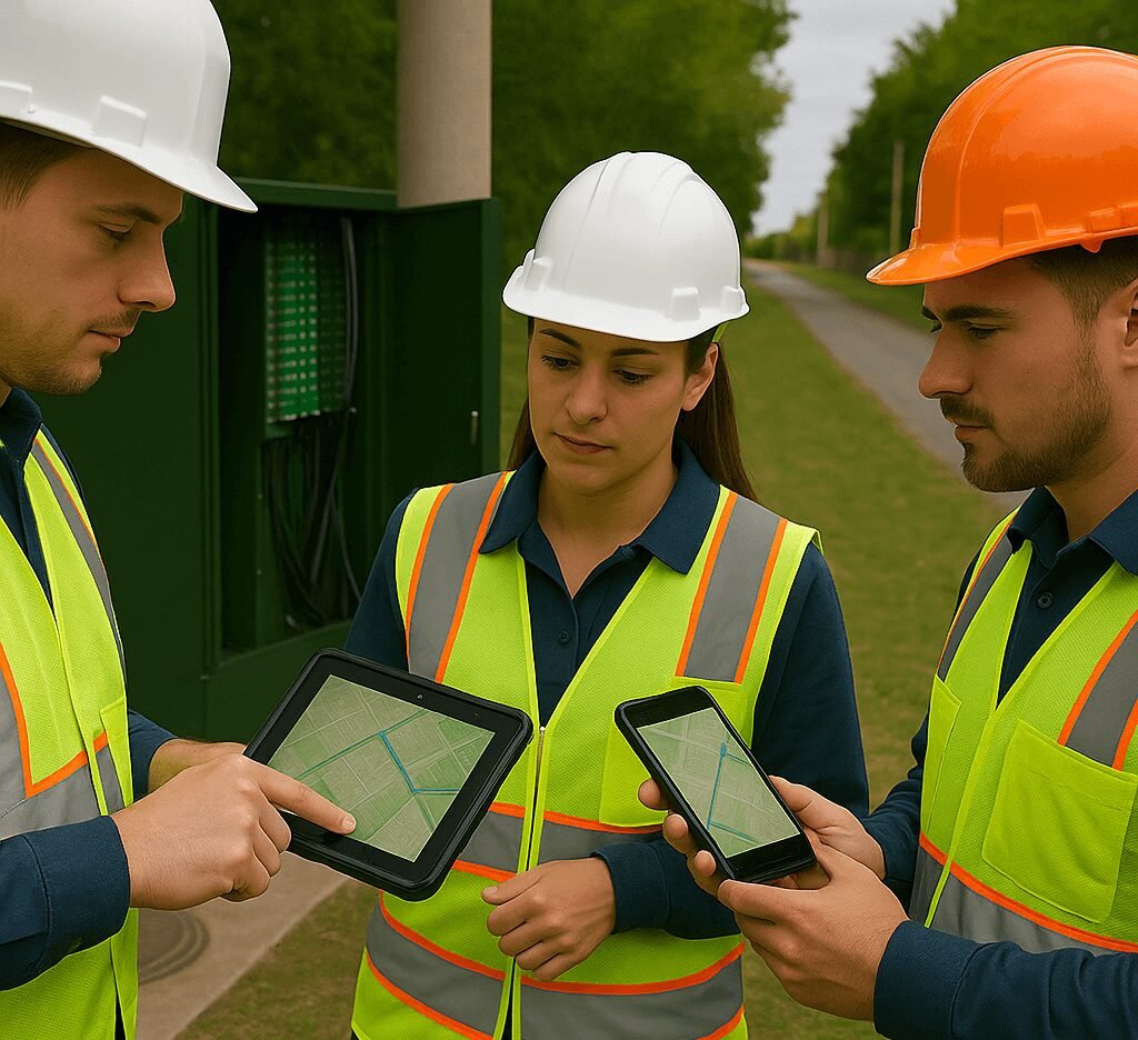
A Connected, Field-to-Office Workflow
With Mergin Maps, surveyors collect accurate data—even offline—capturing photos, verifying address information, checking asset conditions, and updating locations with GNSS-level precision. Every update syncs instantly back to QGIS, where designers see live changes and can proceed with planning without delays.
Why This Matters in Brownfield Projects
Brownfield environments typically include misaligned ducts, damaged poles, mismatched address data, or undocumented routes. Our approach ensures:
Address and HP counts are field-verified, preventing over- or under-dimensioning
Existing assets are evaluated for reuse, reducing construction costs
Photos and metadata sync automatically, eliminating ZIP files, WhatsApp photos, and manual renaming
The Results
Our clients experience measurable improvements:
40–60% faster surveys and planning cycles
Significantly fewer errors and inconsistencies
Seamless communication between surveyors and designers
Reduced rework and lower project risk
This connected workflow feeds into a broader Connected Data Environment (CDE), enabling integration with network inventory systems, dashboards, automated QA/QC, reporting, and more.
A Reliable FTTH Workflow From Day One
We don’t just configure tools—we build full solutions: QGIS data models, planning logic, Mergin Maps integrations, automation, and enterprise geospatial environments. Whether for brownfield or greenfield FTTH, we help organisations unlock accuracy, speed, and predictability across the entire project lifecycle.
if you want a modern FTTH workflow that works from the first survey to the final as-built, our team can deploy the complete environment for you.