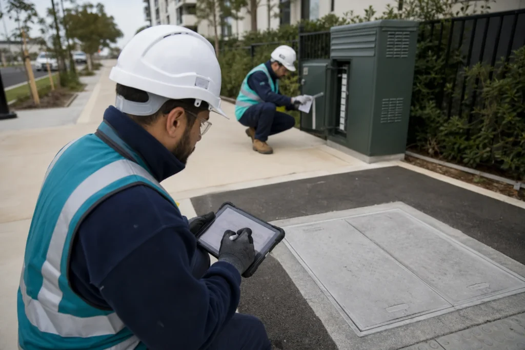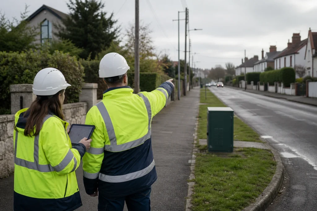
Using Mergin Maps for Brownfield FTTH Planning and Documentation
Brownfield FTTH planning starts with imperfect information. Existing records may be incomplete, asset condition varies in the field, and address or route data can change between design and construction. The decision behind this topic You need GIS to make the operating decision easier-not become another silo. A technically capable platform still fails when ownership, identifiers,
Using Mergin Maps for Brownfield FTTH Planning and Documentation Read More »