
Top Field Data Collection and Mapping Applications for Efficient and Accurate Surveys
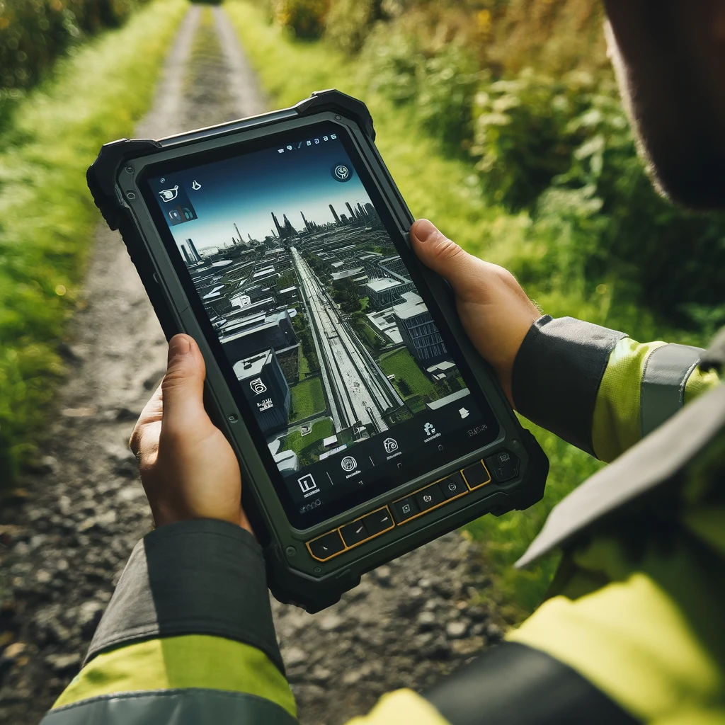
Introduction Field data collection and mapping are now essential for many industries, significantly reducing time and paperwork while enhancing efficiency and accuracy. By leveraging smartphones, tablets, and external GNSS and distance measuring equipment, organizations can gather more precise and detailed documentation. Advances in technology have introduced various applications that streamline these processes. In this blog […]
Top Field Data Collection and Mapping Applications for Efficient and Accurate Surveys Read More »
