
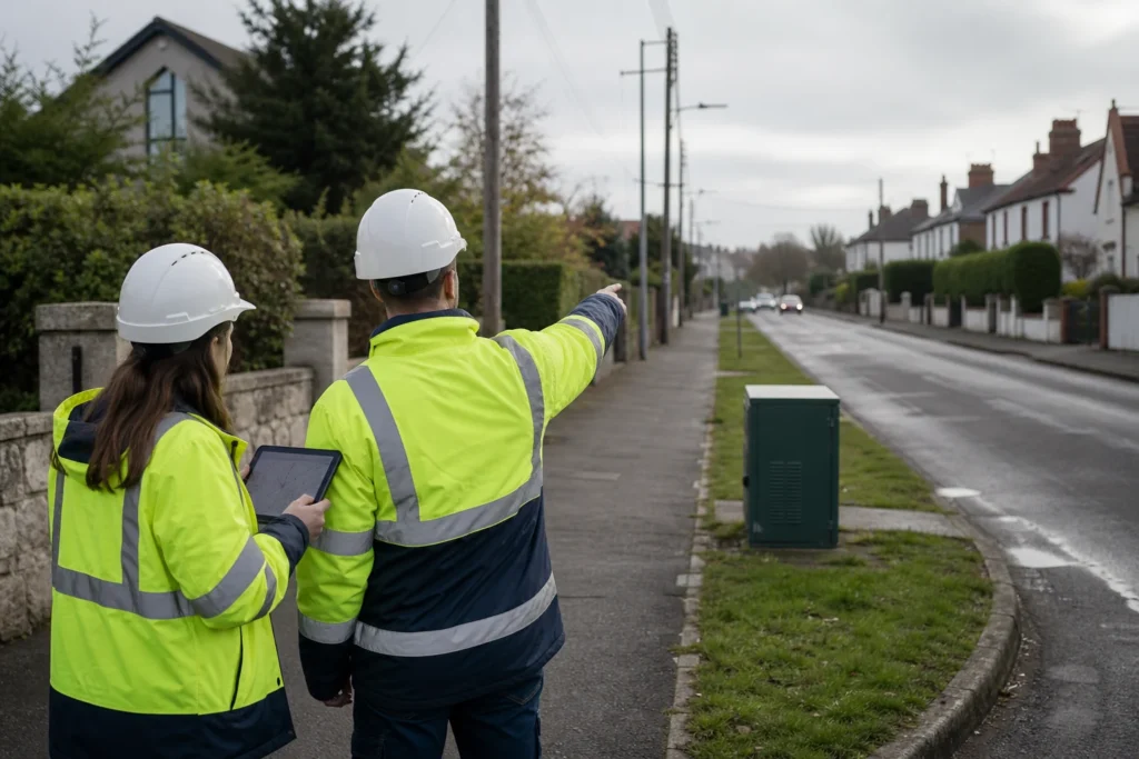
Visual note: this AI-generated editorial image illustrates the engineering context. It does not show a client, site or completed Geospatial Net project.
Brownfield FTTH planning starts with imperfect information. Existing records may be incomplete, asset condition varies in the field, and address or route data can change between design and construction.
A connected QGIS and Mergin Maps workflow can give surveyors and designers a shared, traceable source of project data. The aim is not to remove engineering judgement; it is to make evidence easier to collect, review and hand over.
A practical field-to-office workflow
- Prepare the data model. Define the assets, attributes, validation rules, photo requirements and status fields the delivery team needs.
- Package work for the field. Publish only the relevant survey area and reference data, with offline access where connectivity is unreliable.
- Capture evidence consistently. Record locations, photographs, address checks, asset condition and survey notes against the correct features. Positional accuracy depends on the device, correction method and survey procedure used.
- Review before design use. Synchronise changes to QGIS, run completeness and geometry checks, and route exceptions back to the field when evidence is missing.
- Carry approved data forward. Use the reviewed dataset for design, construction packs, progress reporting and later As-Built reconciliation.
Typical delivery outputs
- A project-specific QGIS data model and layer structure
- Mobile forms, mandatory fields and photo conventions
- Offline survey packages and synchronisation rules
- QA checks for geometry, attributes, duplicates and completeness
- Exception lists and an agreed route for field clarification
- Documented exports for design, reporting or client systems
Where the workflow helps
The main benefit is controlled information flow: survey evidence is linked to the relevant asset, designers can see what changed, and handover data is prepared against an agreed structure. The actual improvement depends on the starting data, survey method, team adoption and client acceptance requirements.
Plan the handover from day one
Before rollout, agree the target schema, ownership rules, coordinate reference system, validation tolerances, evidence requirements and final export formats. A short pilot can expose gaps before the workflow is applied across a wider programme.
Design the review queue before the form
A field form should not simply collect attributes. It should create reviewable evidence tied to an asset, route segment or issue. Define which records can pass automatically, which require engineering review and which must return to the field team.
Plan the handover path
Agree how accepted observations update the design dataset, existing-asset inventory, photo register and exception log. Stable identifiers and controlled domains are more valuable than free-text detail that must be interpreted again at closeout.
Engineering takeaway
A mobile application improves brownfield planning only when the form, identifiers, offline package, coordinate method, evidence rules, synchronisation and review queue are designed as one controlled workflow.
Decision checklist
- Which existing assets and route constraints must be confirmed?
- What fields, domains, photos and coordinate metadata are mandatory?
- How are conflicts, rejected observations and redesign actions managed?
- Which accepted records update design, GIS and As-Built outputs?
Sources and engineering references
- Mergin Maps documentation – Primary product documentation for field-data configuration and operation.
- ICSM: What is GDA2020? – Official Australian datum guidance for spatial-coordinate management.
- INSPIRE data specifications and technical guidance – Technical guidance for interoperable spatial datasets.
Official and standards links provide source context; they do not imply endorsement, legal advice or project acceptance. Confirm current rules, access conditions, licence and fitness for the specific jurisdiction and decision.