
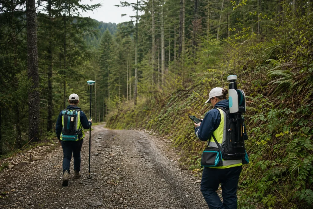
Visual note: this AI-generated editorial image illustrates the engineering context. It does not show a client, site or completed Geospatial Net project.
Forestry LiDAR can describe terrain and vertical vegetation structure, but useful products depend on collection design, ground classification, field evidence and a clear operational question. A canopy-height raster alone is not a forestry workflow.
Define the decision and spatial unit
Start with the area and decision: access planning, terrain, drainage, canopy structure, plot support, habitat, fuels, harvesting preparation, road condition or change detection. Define whether outputs are required by point, tree, plot, stand, compartment, corridor or management area.
Match collection to vegetation and terrain
Leaf-on or leaf-off conditions, canopy density, species structure, slope, sensor type, pulse density, scan angle and ground returns influence what can be derived. Record conditions and design enough control and overlap for the required terrain and canopy products.
Treat ground classification as a reviewed product
Ground errors propagate into terrain, canopy height, slope, drainage and volume calculations. Review classification in steep areas, dense vegetation, road edges, banks, water and built structures. Keep corrected classes and processing versions traceable to source tiles.
Connect field plots and mobile mapping
Field plots provide measurements and interpretation that remote sensing may not supply alone. Stable plot identifiers, coordinate method, date, observer, photos and measurement protocol should link to LiDAR metrics and imagery.
RTK can support controlled outdoor plot or asset positions where satellite conditions are suitable. SLAM or terrestrial scanning can add detailed local 3D structure. The methods should share a reference system and independent checks.
Produce only the derivatives the team will use
Depending on the scope, outputs may include:
- classified point clouds and quality records;
- digital terrain and surface models;
- canopy height or vertical structure products;
- slope, aspect, drainage and access constraints;
- roads, tracks, crossings, structures and field assets;
- plot-linked summaries and exception areas;
- change surfaces or comparable time-series products.
Be explicit about inference
Metrics derived from LiDAR are not automatically direct measurements of every forestry variable. Document models, calibration data, applicable forest types, validation and uncertainty. Do not extend a relationship beyond the conditions in which it was tested.
Design the update and archive
Keep source data, processed versions, acquisition dates, coverage, field references and derivative logic. An operational GIS should make it possible to compare compatible captures and explain why a change appears.
Official technical context
- USGS: terrestrial and airborne LiDAR for vegetation and landscape monitoring
- NASA: Global Ecosystem Dynamics Investigation – spaceborne LiDAR context for three-dimensional forest structure.
- USGS LiDAR Base Specification: processing and handling requirements
Engineering takeaway
Forestry LiDAR products are only as defensible as their acquisition context, ground classification, field linkage, processing lineage and suitability for the decision. Terrain, canopy and change products need explicit limitations.
Decision checklist
- Which terrain, canopy, access or inventory decision is being supported?
- How will acquisition, density, season and occlusion affect interpretation?
- Which field plots and control observations validate outputs?
- Can later captures be compared through compatible methods and lineage?
Sources and engineering references
- USGS: 3DEP standards and specifications – Current technical specifications for US national elevation and LiDAR products.
- USGS: 3DEP products and services – Product, access and use context for US national elevation data.
- NASA: GEDI mission – Spaceborne LiDAR context for forest structure and terrain research products.
- Geoscience Australia: Digital elevation data – National elevation and LiDAR products and access pathways, including ELVIS.
Official and standards links provide source context; they do not imply endorsement, legal advice or project acceptance. Confirm current rules, access conditions, licence and fitness for the specific jurisdiction and decision.