
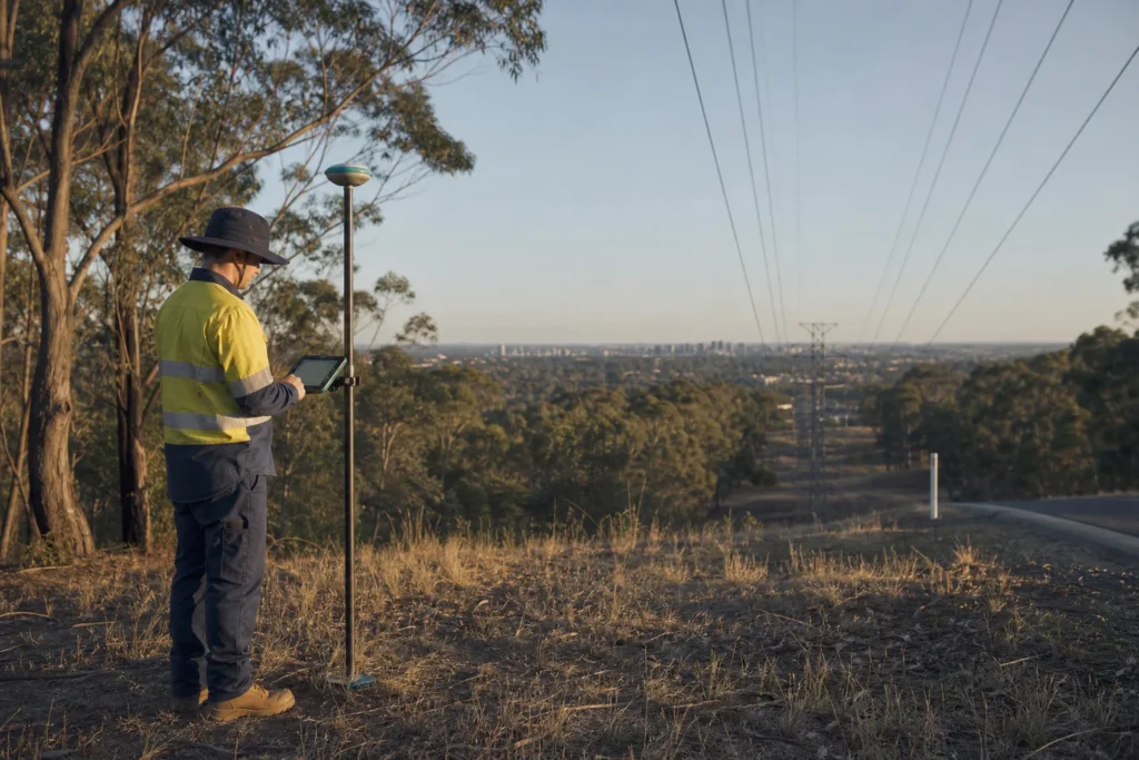
Visual note: this AI-generated editorial image illustrates the engineering context. It does not show a client, site or completed Geospatial Net project.
Australian infrastructure teams can access strong public spatial context, but a public dataset is not automatically suitable for design, survey, construction or asset acceptance. The engineering task is to preserve what each source can support, how its coordinates are expressed and which decisions still require field or authority confirmation.
Start with the coordinate contract
GDA2020 is the current Australian national datum. Before combining owner records, design data, RTK observations, SLAM trajectories, aerial LiDAR or legacy GIS, document the coordinate reference system, epoch where relevant, transformation method and output required by the receiving system. A visually aligned map can still contain offsets that matter at asset or corridor scale.
The project data dictionary should state whether coordinates are source observations, transformed values or derived geometry. It should also identify the tool and parameters used for transformation, because undocumented desktop conversion is difficult to reproduce at handover.
Use elevation and LiDAR products for the question they can answer
Geoscience Australia provides national elevation information and access pathways including ELVIS. Product resolution, acquisition date, point density, classification and coverage determine whether a dataset supports regional terrain screening, drainage context, corridor analysis or detailed extraction.
For engineering use, record source tile, acquisition, datum, vertical reference, resolution or density, classification, processing version and known gaps. If the required decision depends on current surface condition, asset detail or a tolerance outside the product specification, plan additional capture.
Connect field capture to governed assets
RTK can support controlled outdoor feature mapping where correction service, sky view and multipath conditions are suitable. SLAM can support continuous capture in obstructed, indoor or complex environments, but drift, loop closure and control still require review. The method should follow the environment and acceptance threshold, not a preference for one sensor.
Every observation should connect to a stable asset, issue or route-segment identifier. Store fix or control status, capture time, operator, device or workflow version and linked evidence when those details affect acceptance.
Separate public context from asset authority
Public elevation, land-cover and service-area information can guide screening and programme analysis. Owner-supplied records, statutory registers, utility information, permits and field evidence govern different questions. Preserve these as separate source classes so a planning layer does not quietly become an assumed As-Built record.
Design the handover at discovery
Agree the target GIS or asset-register schema, coordinate requirements, accepted formats, evidence links, quality rules and update ownership before capture scales. A contained pilot should prove transformations, field controls, synchronisation, validation and import with representative Australian conditions.
Engineering takeaway
Australian spatial work should begin with a documented coordinate and source contract. GDA2020, public elevation, owner data and field observations each have distinct authority, resolution, currency and acceptance roles.
Decision checklist
- Which datum, coordinate reference, epoch and vertical reference govern delivery?
- What decision is each public dataset fit to support?
- Which tolerances require RTK, SLAM, LiDAR or independent control?
- How will accepted observations update the asset system and remain reproducible?
Sources and engineering references
- ICSM: What is GDA2020? – Official Australian datum guidance for spatial-coordinate management.
- Geoscience Australia: Digital elevation data – National elevation and LiDAR products and access pathways, including ELVIS.
- ACMA: Statutory Infrastructure Provider register – Official register of Australian SIP carriers and nominated service areas.
Official and standards links provide source context; they do not imply endorsement, legal advice or project acceptance. Confirm current rules, access conditions, licence and fitness for the specific jurisdiction and decision.