
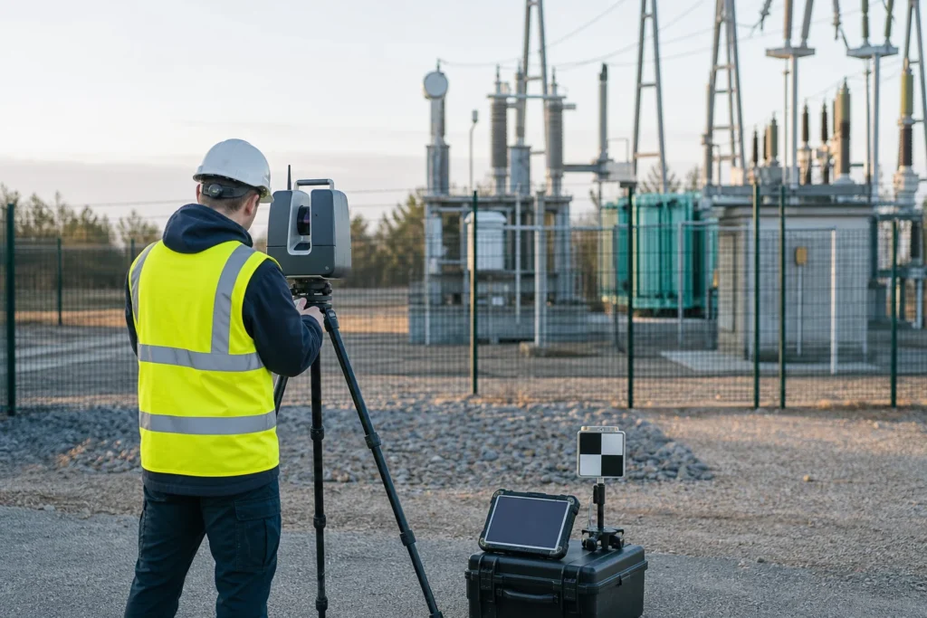
Visual note: this AI-generated editorial image illustrates the engineering context. It does not show a client, site or completed Geospatial Net project.
Construction teams can collect more 3D data than they can use. A dense point cloud, walkthrough or mesh may be visually impressive and still fail the project if it cannot answer the acceptance question, align to the governing coordinate system, identify the relevant object or show which design revision was compared.
The buyer is not purchasing points. The buyer is trying to reduce uncertainty around progress, installed condition, quantities, clearance, defects, change and operational handover.
Start with the decision and tolerance
Define what the capture must support: progress evidence, dimensional verification, clash review, quantity calculation, façade or structure documentation, utility location, clearance, condition, As-Built geometry or an operational asset model. Each decision has a different tolerance, coverage, currency and evidence requirement.
A method that is suitable for visual progress may not support engineering measurement. Conversely, a tightly controlled survey may be unnecessary for a broad site-status view. The capture specification should state the decision, target objects, required coordinate reference, tolerances, occlusion limits, deliverable and approval role.
Choose LiDAR, SLAM and RTK for their operating conditions
Terrestrial or mobile LiDAR can provide dense geometry where line of sight and setup or trajectory controls are workable. SLAM can support continuous capture in complex, indoor or satellite-obstructed spaces, but drift, loop closure and control still require review. RTK GNSS can provide controlled outdoor observations where correction service, sky view and multipath conditions are suitable.
Many projects combine methods. Independent control can connect local SLAM or scanning work to the project coordinate system, while targeted RTK observations identify critical features or checks. Sensor choice should follow the acceptance threshold and environment rather than a preference for one platform.
Preserve control and processing evidence
Record project datum, coordinate reference, vertical reference, control points, check observations, equipment and calibration context, capture date, operator, environment and coverage. During processing, preserve registration method, residuals or quality indicators, filtering, classification, transformations, manual edits and known gaps.
A visually aligned model can still contain offsets or drift that matter at asset scale. Quality reporting should distinguish measured checks from software confidence indicators and state which tolerances were actually evaluated.
Connect capture to design version and work package
Progress and As-Built comparison require a controlled design source. Link each capture to area, work package, date, design or model revision and construction status. When the design changes after capture, the comparison should not silently update as if the evidence described the new revision.
Stable identifiers make the handover usable. Extracted objects, measurements, issues and images should connect to the asset or location expected by GIS, BIM, document control or the operating system.
Extract the smallest useful data product
Not every project needs a complete semantic twin. The useful output may be a clearance table, accepted floor surface, structure geometry, utility features, issue locations, progress quantities or an evidence-linked asset register. Defining the minimum data product reduces processing effort and makes review more focused.
Where a broader digital twin is justified, define asset identity, relationships, source traceability, update events and operating ownership. A visual mesh without an update process is a reference model, not an operational twin.
Plan the operational handover before capture scales
Agree formats, schemas, level of detail, coordinate handling, object identifiers, media relationships, quality results, storage, access and future update ownership during discovery. A representative pilot should prove capture, processing, extraction, comparison, review and import with real project conditions.
Geospatial Net connects LiDAR and digital-twin delivery, construction GIS workflows and As-Built handover so the final data product remains tied to the decision it was collected to support.
Engineering takeaway
Reality capture creates value when the project can trace an accepted decision back to coordinate control, capture conditions, processing, design version and source evidence. More points do not compensate for an undefined acceptance model.
Decision checklist
- Which construction or operational decision must the capture support?
- What tolerance, coordinate reference, coverage and currency are required?
- Which method or combination of LiDAR, SLAM, RTK and control fits the environment?
- How are capture date, design revision, work package and asset identity connected?
- What is the smallest accepted data product, and who owns the next update?
Sources and engineering references
- USGS 3DEP standards and specifications – public technical context for controlled LiDAR products.
- Open Geospatial Consortium: CityGML – standard context for semantic 3D city and landscape models.
- Geoscience Australia Strategy 2026–2036 – current national mapping, location, hazards and infrastructure context.