
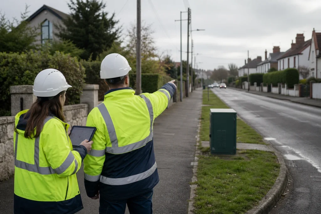
Visual note: this AI-generated editorial image illustrates the engineering context. It does not show a client, site or completed Geospatial Net project.
Coverage maps are valuable for national and regional planning, but they do not answer every question required for a buildable fibre work package. The next step is to connect reported or planned coverage with address demand, existing infrastructure, terrain, municipal context, route authority and field evidence.
Use coverage as context, not detailed design
North Macedonia’s Agency for Electronic Communications publishes GIS services for existing and planned next-generation access coverage. These layers can support gap analysis, regional comparison and early option development.
For project use, record the layer, date, classification and intended meaning. “Covered,” “planned” and “serviceable” are different states and should not be collapsed into one field.
Build a planning stack for each candidate area
- Demand and service context: addresses, businesses, public facilities, mobile sites and the intended service model.
- Existing network and physical infrastructure: known fibre, ducts, poles, structures, power, transport and candidate interconnection points.
- Terrain and access: slope, water, roads, settlement pattern, seasonal access and constructability constraints.
- Authority and permissions: municipal, road, parcel, utility, environmental and private-access requirements.
- Field evidence: structure condition, occupancy, crossings, surfaces, obstructions, coordinates and photographs.
Separate national priorities from delivery packages
National infrastructure programmes and connectivity strategies help define public priorities and possible shared corridors. Delivery still needs bounded areas with architecture, route alternatives, quantities, permissions, risks, acceptance and a responsible owner.
A useful GIS transition is:
- identify an area where the service or public-value case requires investigation;
- create demand clusters and candidate serving areas;
- develop more than one route and construction option;
- prioritise field checks where uncertainty could change the option;
- record municipal and infrastructure-owner engagement;
- release only the work packages that have passed the required decision gates.
Plan for a mixed delivery environment
Dense urban areas, smaller settlements, mountain corridors and rural access require different assumptions. Reusable poles or ducts may be decisive in one area; terrain, road access or power availability may dominate another. The cost model should reference spatial objects and confidence rather than applying one rate to every route segment.
Keep language and local ownership visible
Field forms, permit references, status labels and handover guidance may need Macedonian, Albanian and English terminology depending on stakeholders. A multilingual data dictionary is more reliable than translating free text after delivery.
Official and primary sources
- Agency for Electronic Communications: next-generation access coverage
- AEK existing NGA coverage feature service
- European Commission: North Macedonia Reform Agenda annex
Engineering takeaway
Coverage context is a planning input, not construction evidence. Buildable work packages need local authority, land, utilities, field condition, coordinate, multilingual terminology and acceptance information attached to each route decision.
Decision checklist
- Which regulatory and municipal sources are current for the target area?
- Which route, land, crossing and utility constraints need local confirmation?
- How will Macedonian, Albanian and English terms remain consistent?
- What field and approval evidence releases the work package?
Sources and engineering references
- North Macedonia AEK: next-generation access coverage – National regulatory coverage context that still requires project-level validation.
- European Commission: Gigabit Infrastructure Act – EU context for infrastructure access, civil-works coordination, permits and building readiness.
- European Commission: INSPIRE overview – Principles and implementation context for interoperable European spatial data.
Official and standards links provide source context; they do not imply endorsement, legal advice or project acceptance. Confirm current rules, access conditions, licence and fitness for the specific jurisdiction and decision.