
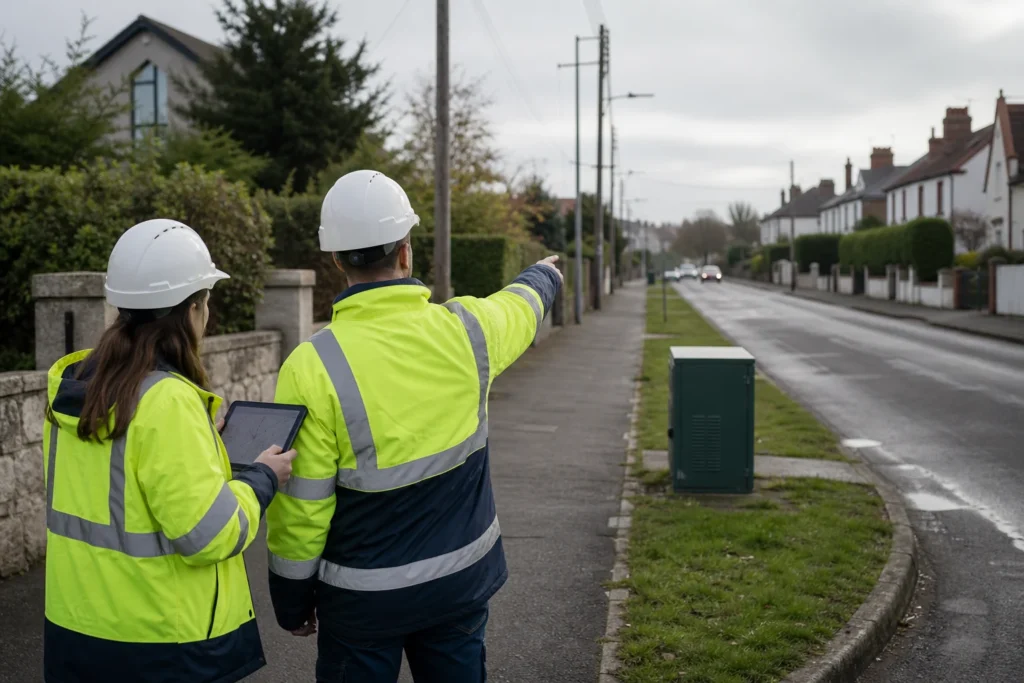
Visual note: this AI-generated editorial image illustrates the engineering context. It does not show a client, site or completed Geospatial Net project.
A route can be geometrically tidy and still be impossible to build. The problem usually appears when a preferred line is treated as authorised alignment before the underlying rights, permit conditions, ownership and field constraints have been resolved.
For FTTx programmes, route selection should be governed as a sequence of evidence and approvals. GIS is valuable here because it can keep the geometry, source, authority, confidence and decision status together.
Separate authority from preference
A design team may prefer a corridor because it is short, avoids visible civils or connects cleanly to the target architecture. That preference is only one input. The route model should distinguish:
- Project authority: the boundary, mandate and commercial area the programme is authorised to consider.
- Public right-of-way: the legally recognised corridor and the public body responsible for access or permitting.
- Private rights: recorded easements, wayleaves, access agreements and conditions attached to private land.
- Special jurisdictions: road, rail, water, environmental, heritage, utility and other controlled crossings.
- Engineering preference: the route that fits the architecture, constructability, resilience and lifecycle requirements.
- Approved alignment: the version accepted for the next design or construction gate, with unresolved conditions recorded.
Build an authority dataset, not a coloured overlay
Each route segment should carry its authority type, source record, owner, date, confidence, permit or agreement reference, restrictions and approval state. If a boundary is inferred rather than surveyed or supplied by an authoritative source, that uncertainty must be visible.
The aim is not to make GIS decide legal rights. The aim is to prevent an engineering drawing from hiding which assumptions still need legal, permitting or survey confirmation.
Use a gate before detailed design
- Define candidate corridors. Use demand, network architecture, existing infrastructure and known constraints to identify alternatives.
- Classify authority. Attach the relevant public, private and special-jurisdiction evidence to every segment.
- Expose unresolved boundaries. Create an exception queue for missing records, conflicting sources and areas requiring field or legal clarification.
- Confirm buildability. Add utility conflicts, structures, access, traffic management, surface type, vegetation, crossings and construction method.
- Approve a controlled version. Record who accepted the alignment, for which design stage, and under which conditions.
Carry revisions into construction and As-Built
Permit revisions, field deviations and negotiated access changes should update the same segment record used by engineering. A redline that changes geometry without its authority and approval context creates a new ambiguity for closeout and operations.
The practical test is simple: for any installed segment, can the team identify why the route is there, which authority supports it, what changed, who approved the change and how the final position was captured?
Regional rules change; the control pattern remains
Rights-of-way, easements, wayleaves and permits differ across US states, EU Member States and other jurisdictions. The data model must be localised with qualified legal and permitting input. The reusable part is the control pattern: authority, source, confidence, condition, decision and change remain attached to the route.
Engineering takeaway
Route geometry should not advance beyond the evidence supporting its authority and buildability. Keep source, confidence, restriction, approval and change state attached to every candidate and installed segment.
Decision checklist
- Which party or record supports use of each corridor?
- Which boundaries are authoritative, inferred or field observed?
- What conditions must be resolved before detailed design or construction?
- How will approved field deviations update authority and As-Built records?
Sources and engineering references
- David Rottmayer: Right-of-Way Hierarchy and Route Selection Logic – Industry perspective; the Geospatial Net article develops a separate GIS-governance workflow.
- European Commission: Gigabit Infrastructure Act – EU context for infrastructure access, civil-works coordination, permits and building readiness.
- NTIA BroadbandUSA: Permitting – Federal broadband-permitting assistance and resources.
- FHWA: Broadband Infrastructure Deployment – US highway right-of-way, utility accommodation and broadband-deployment reference.
Official and standards links provide source context; they do not imply endorsement, legal advice or project acceptance. Confirm current rules, access conditions, licence and fitness for the specific jurisdiction and decision.