
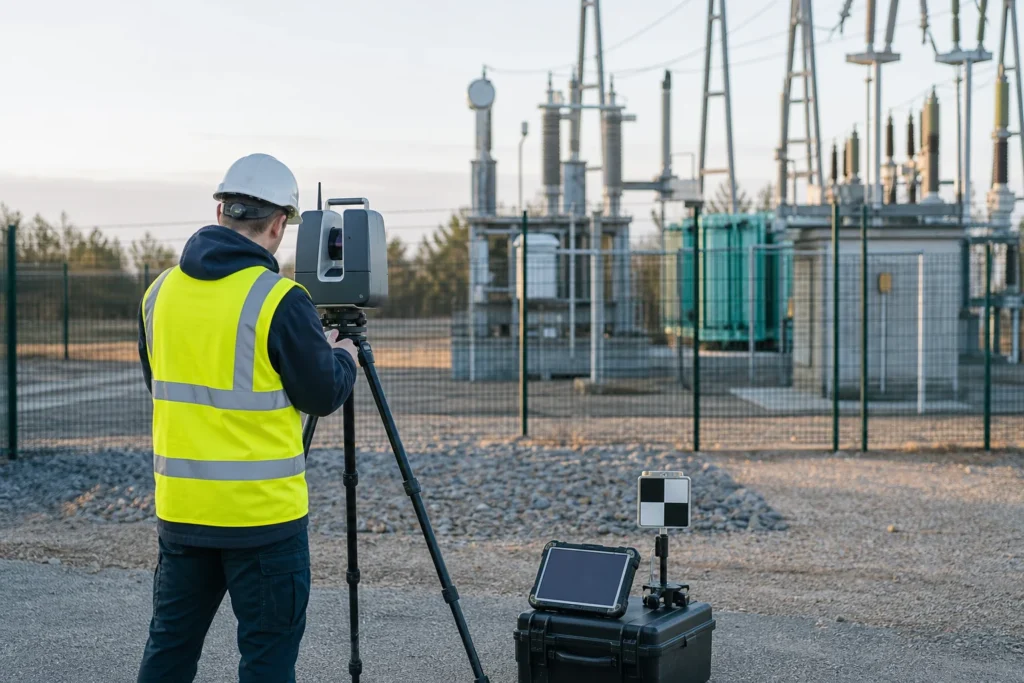
Visual note: this AI-generated editorial image illustrates the engineering context. It does not show a client, site or completed Geospatial Net project.
A point cloud is a measurement dataset. A digital twin is an operating model with identity, relationships, source, change and a defined use. Confusing the two is how reality-capture projects produce impressive demonstrations but weak operational handover.
1. Start with the decision
Define whether the work supports clearance, design, condition, construction progress, volume, access, inventory, maintenance or another specific decision. That determines the area, sensor, control, density, accuracy, occlusion tolerance, classification and output model.
2. Specify capture and control
Document the coordinate reference system, units, control method, checkpoints, trajectory requirements, overlap, environmental limits, coverage and evidence to retain. Terrestrial, mobile, aerial and SLAM capture have different strengths and failure modes. The method should follow the environment and required output.
3. Register and georeference transparently
Registration aligns scans or trajectories into a common frame. Review residuals, control differences, loop closure, drift and areas with weak geometry. A single project-wide error statistic can hide local problems, so quality should also be inspected spatially.
4. Clean without deleting evidence blindly
Noise, multipath, mixed pixels, duplicate surfaces, moving objects and temporary items may need treatment. Keep processing parameters and, where appropriate, the original source so later reviewers can understand what was removed or changed.
5. Classify and segment for the use case
Classification assigns points to categories such as ground, vegetation or structures. Segmentation groups observations into meaningful objects. Automated methods can accelerate the work, but confidence, representative testing and human review are essential where the result drives engineering or asset decisions.
6. Derive products with traceable rules
Outputs may include terrain and surface models, contours, profiles, clearances, sections, volumes, canopy products, mesh or vector assets. Each product should record source tiles, processing version, parameters, date and acceptance status.
7. Create stable asset identity
Operational objects need identifiers and relationships. A pole, chamber, cabinet, conductor, structure, tree plot or road segment should link to its geometry, source observations, attributes, documents, inspections and changes.
8. Integrate with GIS, BIM and asset systems
Define which system owns each object and attribute. The twin may reference detailed geometry while the GIS owns location and network relationships, or the BIM environment may own design detail while the asset register owns maintenance state. Avoid duplicating ownership without an update rule.
9. Design the next update
A twin becomes operational when the team knows how new captures, field edits, design revisions and maintenance events enter the model. Handover should include quality rules, release gates, source lineage and a runbook-not only files.
Standards and official guidance
- USGS LiDAR Base Specification: data processing and handling
- USGS LiDAR Base Specification: collection requirements
- OGC CityGML standard for 3D city models and urban digital twins
Engineering takeaway
A point cloud becomes operational only after coordinate control, registration, quality, classification, extracted objects, stable identity, source lineage and an update process are connected to a decision and owning system.
Decision checklist
- Which decision, asset classes and tolerances define acceptance?
- How are control, trajectory, registration, coverage and uncertainty recorded?
- Which processing changes must remain reproducible?
- How do approved objects enter GIS, BIM, inspection or maintenance?
Sources and engineering references
- USGS: 3DEP standards and specifications – Current technical specifications for US national elevation and LiDAR products.
- Open Geospatial Consortium: CityGML – Open standard for semantic 3D city and landscape models.
- Geoscience Australia: Digital elevation data – National elevation and LiDAR products and access pathways, including ELVIS.
Official and standards links provide source context; they do not imply endorsement, legal advice or project acceptance. Confirm current rules, access conditions, licence and fitness for the specific jurisdiction and decision.